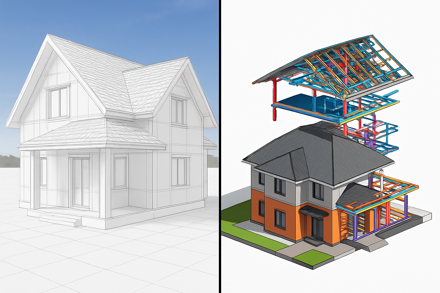
3D and BIM modeling by drone: precision, speed and ground control
Today, 3D modeling by drone is a state-of-the-art solution for obtaining a faithful digital representation of a site, building or infrastructure. Thanks to drones equipped with photo or LiDAR sensors, it is possible to capture precise data from the air, without direct contact with the structure or the ground.
This data is then processed to generate a dense point cloud, a high-resolution orthophoto, or a BIM (Building Information Modeling) compatible digital model, which can be used in the main modeling software.
Why use drone 3D modeling?
Time-saving: Surveys are automated, fast and cover large areas in a single flight.
High accuracy: Models produced are centimeter-accurate, ideal for measurement, control or documentation purposes.
Increased safety: Inspections or surveys can be carried out without exposing crews to height or environmental hazards.
BIM interoperability: the data generated can be integrated into a BIM approach for better coordination between project stakeholders and a global vision of a structure’s lifecycle.
A strategic asset for your projects
3D drone modeling enables you to better understand an existing site, anticipate constraints, facilitate decision-making and track the evolution of a site or project over time. It’s a modern, reliable and efficient tool for all players wishing to make intelligent use of their field data.


